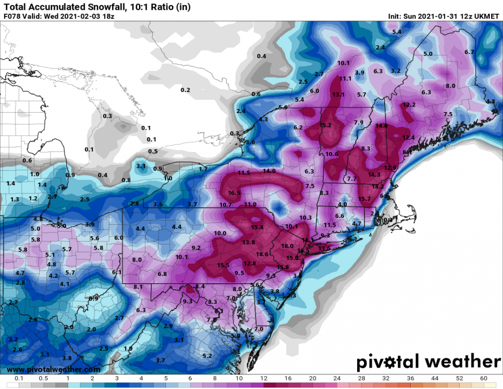
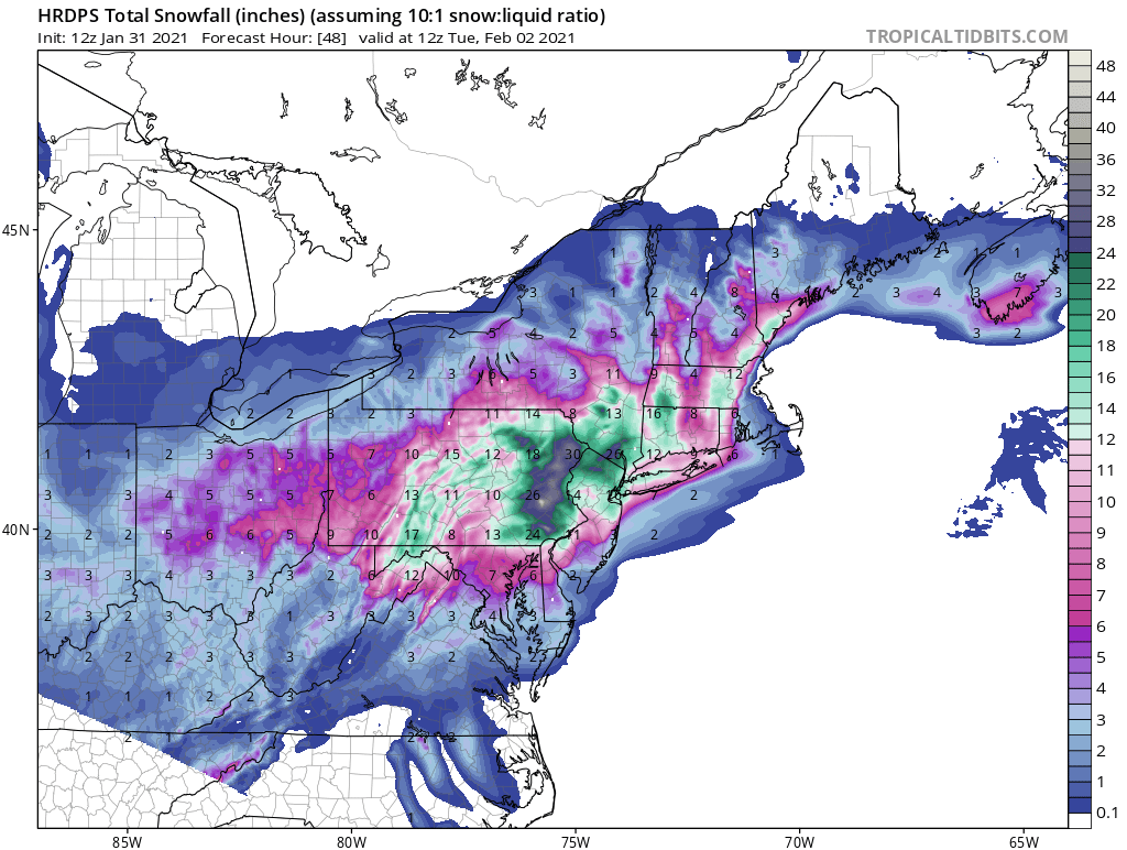
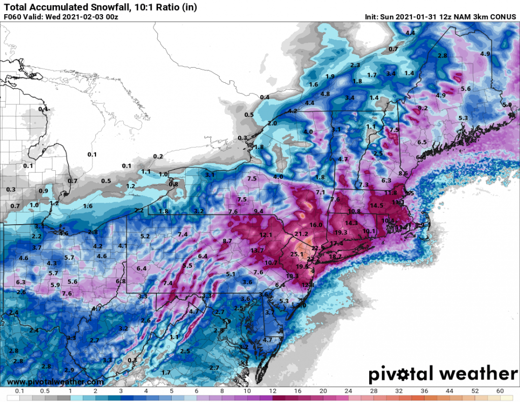
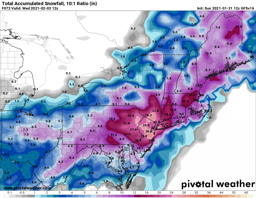
We continue to be on track for a significant storm to impact our region beginning later this afternoon. As I indicated last night, and confirmed by overnight model runs and model runs this morning, expected snowfall has increased. As of this morning, all models have come in to alignment for a regionwide snowfall of 15-20″+. Parts of NYC and areas north and west likely will see over 20″ with some areas of interior NJ receiving as much as 30″.
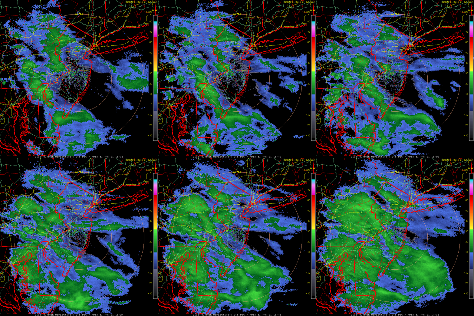
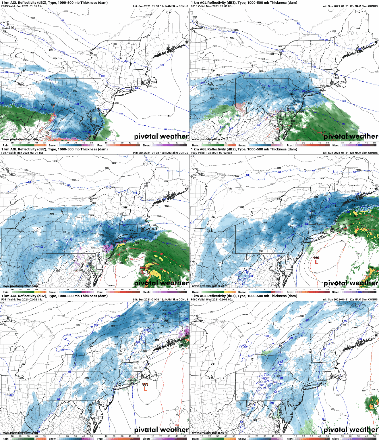
Snow should begin to overspread the region by late this afternoon in to early evening, it will continue overnight tonight and taper off sometime on Tuesday morning. During the day into the evening on Monday snowfall rates may exceed 2-3″ per hour with whiteout conditions. Additionally, winds especially on Long Island may gust over 40-50 MPH.
This will be by far the largest and most impactful snowstorm our area has seen in several years.


Thank you for the update!