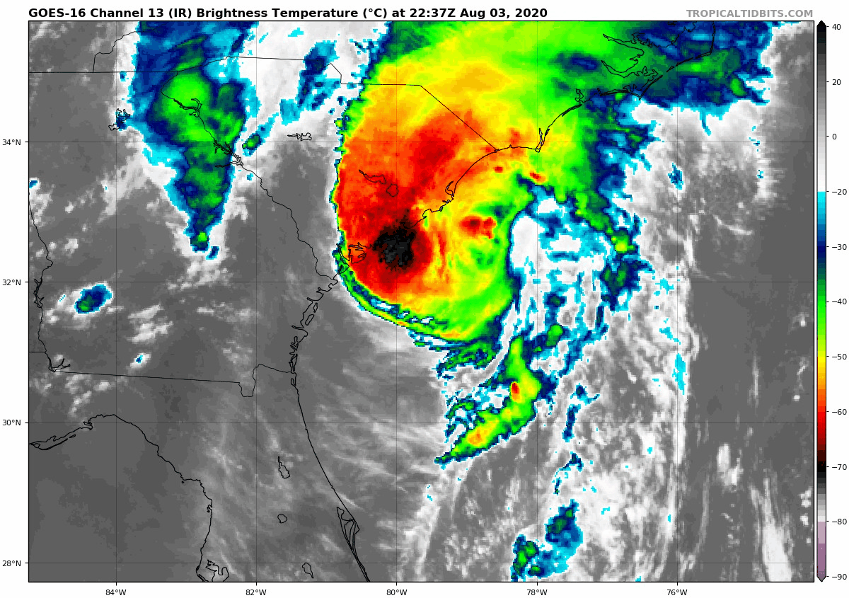
As of this evening Tropical Storm Isaias is located off the coast of South Carolina and progressing north towards our region. There are already some thunderstorms developing over NJ and heading towards our region, but the main effects of Isaias will not impact our area until late tomorrow morning into tomorrow evening.
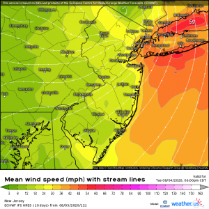
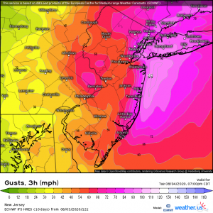
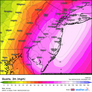
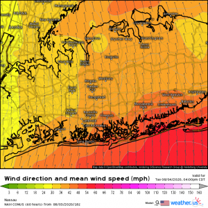
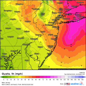
At the peak of the storm, Long Island and NYC can expect to see sustained winds of between 30-50MPH, with the potential of gusts over 60MPH. I should note as seen in the model images below, wind gusts just above the surface will be somewhere between 70-90MPH. It is possible, though unlikely that some of these gusts may mix down during a thunderstorm during the morning and afternoon. For Long Island and NYC, this will be a mostly wind event with minimal rain. However, it is possible that there will be localized flooding in some locations due to thunderstorms that develop. Additionally, if you live along the south shore of Long Island, you can expect minor to moderate coastal flooding. This is due to winds from the S/SE pushing water up against the beaches and inlets.
Overall, this will be a low to moderate impact tropical system for our region.

EURO Wind Speed EURO Wind Gusts UKMET Wind Gusts NAM Wind Speed NAM Wind Gusts