While, I hoped to come to you this morning with a definitive forecast, alas the weather gods have not been kind. There is still a significant amount of disagreement in the model guidance on what to expect tomorrow. I’m going to outline my best guess below, but the general takeaway is that today everyone from NYC East can expect snow/sleet changing to rain during the day. The rain will continue until until early tomorrow morning. Then mid-day tomorrow is when things get dicey and we may or may not see accumulating snow. Overall, expect anywhere from a coating to 4 inches of snow by Tuesday morning.
Detailed Discussion:
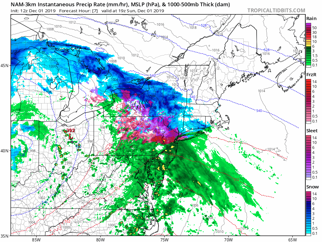
While it is clear that this afternoon into this evening will feature light to moderate rain showers throughout the day, there is still a significant amount of uncertainty around what occurs tomorrow. Model guidance has been shifting back and forth over the last 24-48 hours with the track of the low pressure systems by about 25-50 miles. While this may not seem like much, it is the difference between our area seeing a coating of snow at best vs 2-5 inches of snow.
What is clear is that by mid-day tomorrow an area of low pressure will develop somewhere just off the New Jersey coastline. From there, the low will either track east just south of Long Island or head SSE. They key to everything is how far south and east the initial low forms. If it forms where the GFS and HRDPS currently have it modeled right over the New Jersey Coastline, and fairly north, we may not see much snow at all. While if it follows the NAM track, and forms about 30 miles further SE, we likely will see a few inches of snow late Monday night. Either way, this will not be a high impact event, it will be more of a nuisance event then one that will cause much disruption.